By DIANN CALUCIN
Manila has rolled out an AI‑powered drone and mapping system capable of predicting flooding up to two hours in advance, Mayor Francisco “Isko Moreno” Domagoso announced Wednesday, July 29.
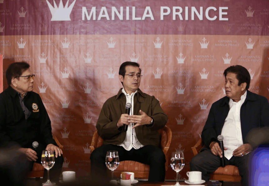
Speaking at the Kapihan sa Manila Prince forum on July 29, Domagoso said the system uses 3D mapping and ArcGIS technology to analyze rainfall, elevation, and drainage data across the city.
“Kaya natin ma‑predict kung magbabaha… in a matter of minutes madi‑detect mo na na itong lugar na ‘to magbabaha 2 hours thereafter,” he said.
Equipped with artificial intelligence, the drone can map structures with high precision, supporting the city’s push for data‑driven governance.
The system, operated by the Manila City Disaster Risk Reduction and Management Department (MCDRRMD), also enables monitoring of infrastructure, zoning, and even health trends at the barangay level.
Domagoso said building a comprehensive data system, from property records to healthcare, will guide future policies and disaster response.
He added that early flood prediction alone could save lives and property as Manila continues to invest in digital infrastructure.