Local government units (LGUs) have been urged to carry out pre-emptive or forced evacuations in flood- and landslide-prone communities until Sunday, as Typhoon “Uwan” barrels toward Northern Luzon with the potential to intensify into a super typhoon.
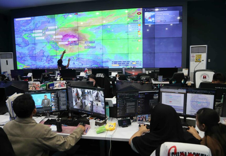
The National Disaster Risk Reduction and Management Council (NDRRMC) has raised the nationwide alert status to red, mobilizing all regional and local disaster units in anticipation of Uwan’s landfall.
Authorities warned that as many as 8.4 million people across several regions could be affected, including 5.7 million in coastal communities and about 466,000 poor families considered most vulnerable, particularly in the Cordillera Administrative Region (CAR), Ilocos Region, and Cagayan Valley.
The Department of Social Welfare and Development (DSWD), citing predictive analytics, said the potentially impacted areas include Ilocos (Region 1), Cagayan Valley (Region 2), Central Luzon (Region 3), CAR, Calabarzon (Region 4A), and Bicol (Region 5). Rainbands from Uwan may also reach Western Visayas (Region 6), Negros Island Region (NIR), Central Visayas (Region 7), and Eastern Visayas (Region), which are still reeling from the devastation of Typhoon “Tino.”
Tino has already claimed 204 lives, with 109 individuals still missing as of Saturday, Nov. 8, according to the latest NDRRMC data.
“We have been preparing for Uwan for the past several days as it could become a super typhoon per PAGASA’s forecast… We are preparing basically the entire northern Luzon island and Visayas for the possible impact of Typhoon Uwan,” said Office of the Civil Defense Deputy Administrator for Administration Asst. Sec. Bernardo Rafaelito Alejandro.
“We’re urging local government units to enforce pre-emptive and even forced evacuations until Sunday, especially in flood- and landslide-prone communities,” he added.
Alejandro warned that Uwan’s massive size, with a radius of 700 kilometers, could cause heavy rainfall and destructive winds over wide areas.
“Its diameter spans about 1,400 kilometers which could cover areas from Batanes down to Bohol. These areas could feel the typhoon’s effects,” he said. The Mines and Geosciences Bureau (MGB) also identified 8,164 barangays that could experience rain-induced landslides and floods.
The MGB warned that saturated soils caused by recent rains from Tino have made many areas more vulnerable particularly in Southern Leyte, Quezon, Sorsogon, Cebu, Capiz, Palawan, and Surigao.
It said that residents should not return home without clearance from local governments as “landslides do not happen instantaneously, they can occur even after the rain stops.” (Martin Sadongdong)